
Preliminaries
For me, it started on October 13, 2018. The occasion was a telephone call from my brother, David. David wanted to know if I would like to go with him to climb Guadalupe peak, the highest point in Texas. I said yes (silly me).
David had wanted to climb Guadalupe Peak for ten years. He was planning to go with his wife, but, for one reason or another, the hike was always postponed. So, as a last resort, he was recruiting his old, fat, out of shape brother to be a cohort in crime.
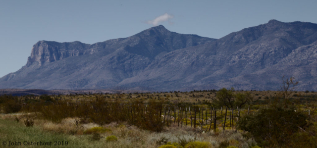
The climb starts from the Pine Spring campground and goes out 4.25 miles and up 2929 feet to the summit (then you have to get back…). The hike is rated “moderate” in most online hiking sites and people who are, shall we say, less than athletes, have completed the hike. The same hiking sites that rate the hike as “moderate” record the average grade as 8.5% and the peak grade as 45%. Wikipedia says the trail is “stony”. So, nothing that a little extra exercise can’t overcome. Bring on the mountain!

We set a preliminary time of April, 2019 and I started my physical preparations for the ordeal. Unfortunately, I got sick in February and was in no shape to hike the mountain. On March 18, I talked with David and we postponed the hike until September, 2019.
In August, 2019, David and I spoke again. I was still not in any shape to do the hike comfortably. We had a decision to make: postpone the hike to spring of 2020 or suck it up and get her done. In a fit of optimism and fuzzy thinking, we decided to suck it up.
My brother lives in El Paso, which is listed as elevation of 3720 feet. I live in San Angelo, which is 1847 feet. David lives in the foothills of the Franklin Mountains and his daily walk has some elevation gain as he goes up and down the surrounding hills. Where I live, a golf ball is considered a major protuberance. Okay, so I exaggerate. But I have to go out of my way to find some elevation gain.
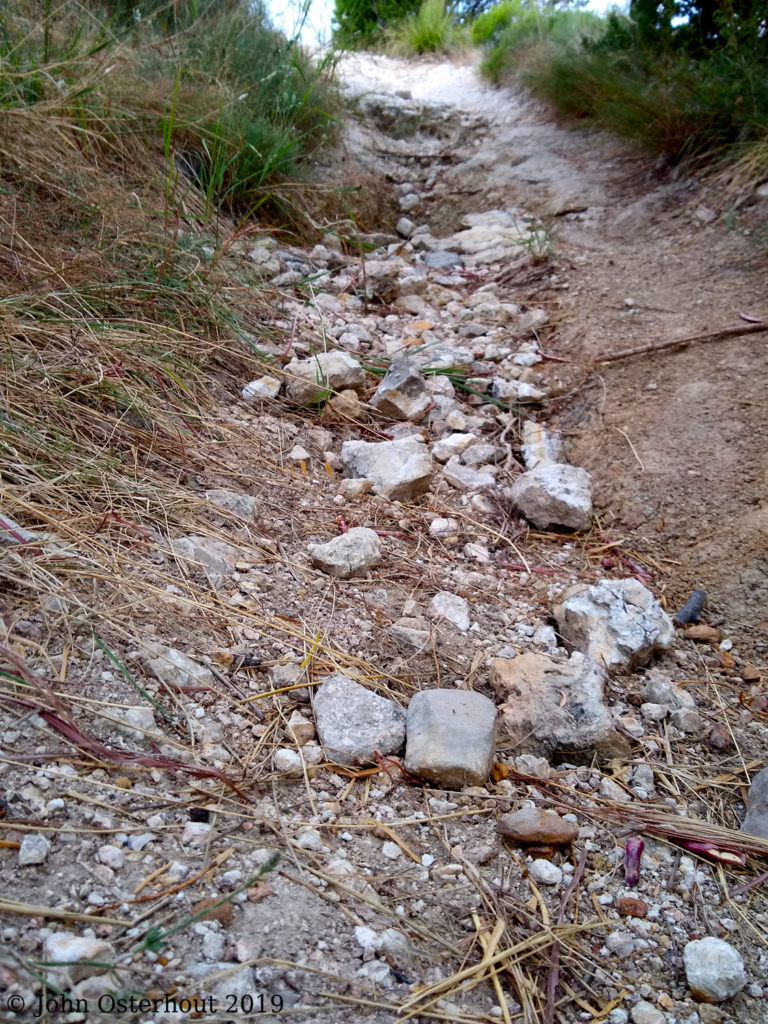
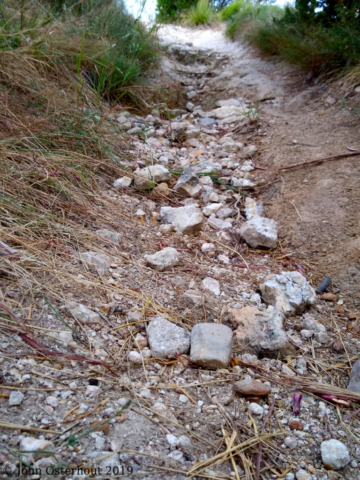
San Angelo State Park is nearby and has over fifty miles of hiking trails. One of the trails, the Roller Coaster Trail, goes up and down, as you might expect from the name. The picture shows the steepest, rockiest part of the trail. That particular pitch goes up about thirty feet. So, if I do it 100 times in a day, I can simulate the hike to come.
My preparations for the assault on Guadalupe Peak consisted of: buying a pair of trekking sticks, buying a new hat (my venerable twenty-year-old Tilly hat disintegrated in the wash and it’s replacement had not arrived), and hiking in the state park every morning as soon as the park opened. Disclaimer: when I hike, I’m usually birding or doing photography, so I am by nature a sloooow hiker. More of a stroller, actually. During my preparation hikes in the state park, I concentrated on moving swiftly. This might have increased my speed from “sloth” to “slow”. Sigh.
Finally, the day approached. We scheduled the hike for Tuesday, September 24th. The plan was to meet at Pine Springs campground on Monday, do the hike on Tuesday, and return home on Wednesday. I had about a six-hour drive from San Angelo. David’s drive was about two hours from El Paso. David was going to arrive early and set up camp. I’d meet in in the campground about one or two o’clock.
Base Camp, 5822 Feet
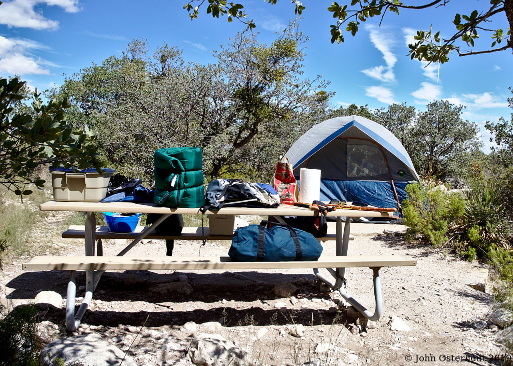
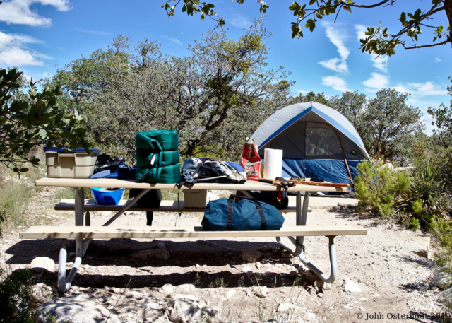
True to his word, David had our luxury accommodations set up when I arrived. Nothing for me to do but hang out in the spa and soak up the ambiance.
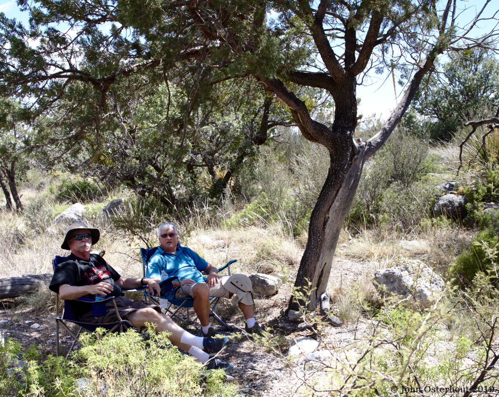

We had a short hike and did some business at the visitor’s center. I got my stuff squared away and organized myself for the morning hike.
Chez David
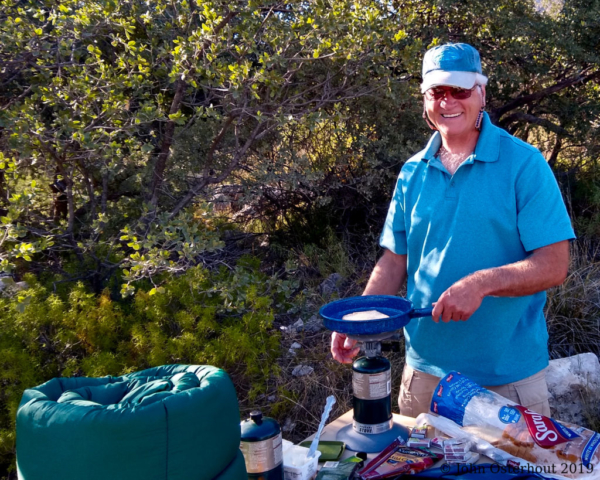
We took all our meals at Chez David (pronounced Day-Veed), the (minus) three star restaurant associated with our luxury accommodations.
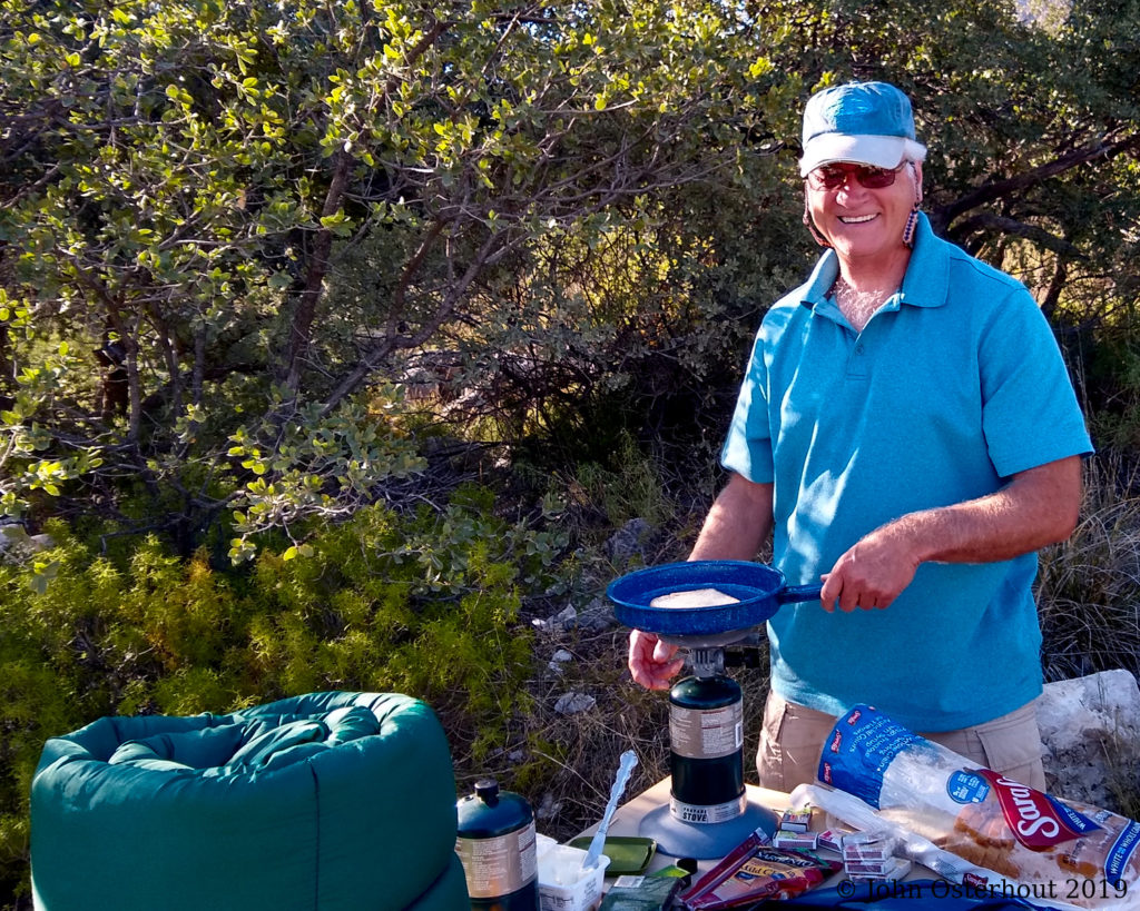
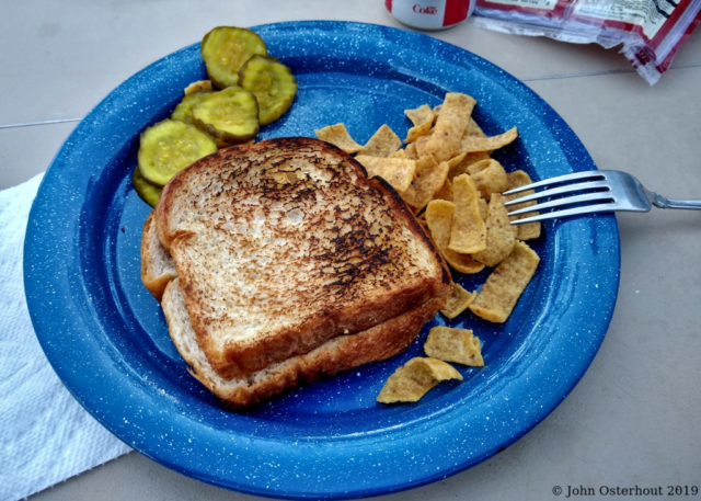
At Chez David, you eat what Chef David cooks. Our first night, Chef David prepared croque-monsieur du pain blanc avec Fritos, et cornichons sucres. It was luscious.
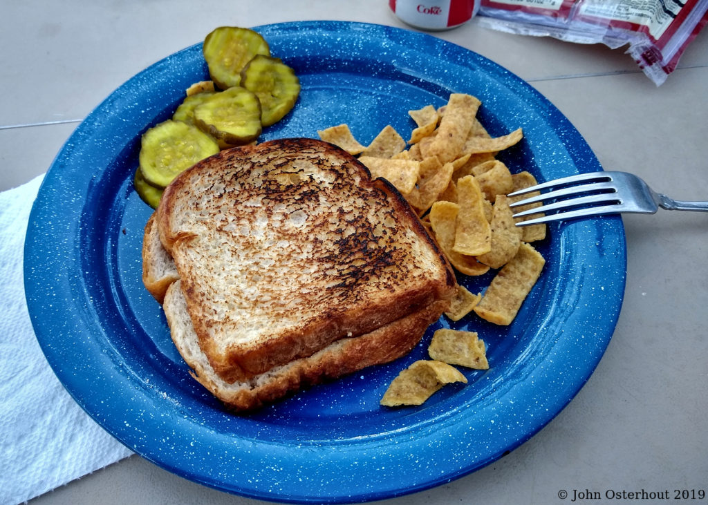
Chef David’s specialty is “Man Food on One Burner”. We’re guys. So sue us…
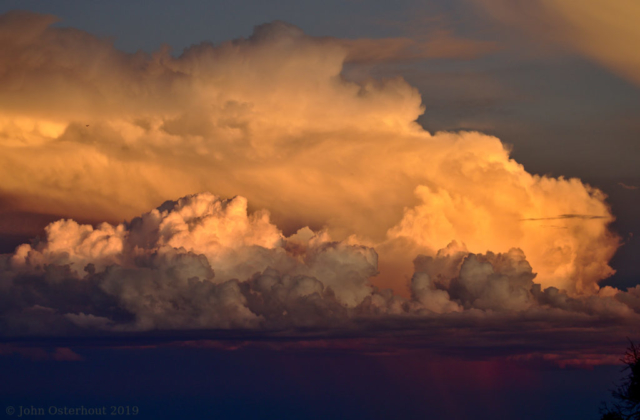
After dinner, we went to the dish washing sinks to clean up. On the way, we had the view below. The forecast for the night and the next day was for scattered showers.

Scattered Showers
We spent an uneventful night in the tent and hit the ground ready to go.
Ascent of Guadalupe Peak
But first, breakfast. We arose at first light and headed over to Chez David. Since a hearty breakfast was in order, Chef David prepared oeufs brouilles, griller du pan blanc beurre, flocons d’avoine a la canelle, et cafe noir. As always, it was delicious. I was so nervous about the coming ordeal that I forgot to take a picture.
Thus fortified, we headed for the trail to Guadalupe Peak. We had to hike across our camping area and trailer camping area to get to the trailhead, maybe a hundred yards. At the trailhead I tripped the chronometer on my jogging watch. We were off! It was about 6:45 am.
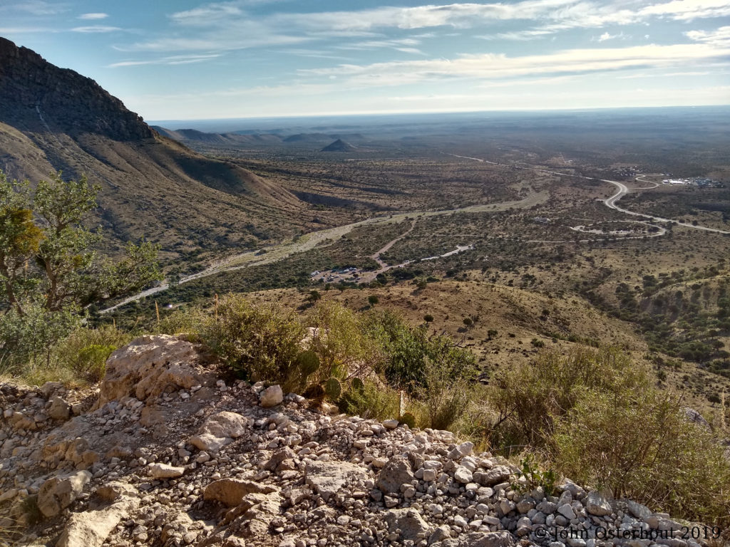
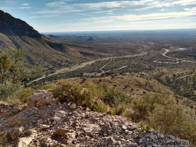
Moving up! It’s hour 1:15 of the hike. Near the center of the photo is a circular area. This is the trailer campground. the Guadalupe peak trailhead is on the edge of this area. The circle of roads on the right hand side of the photo is near the park headquarters and parking lot. The Guadalupe Mountains are rising on the left and the view outward is over the salt flat.
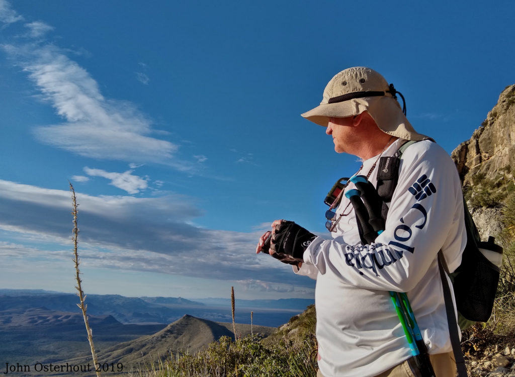
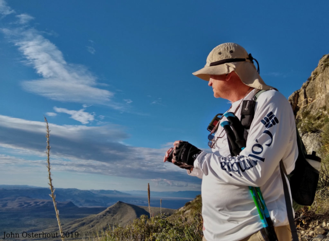
David, the intrepid trekker, also at hour 1:15. David is holding a monocular that he was using to examine the landscape.

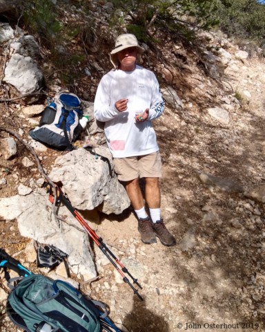
This photo is from hour 2:04 of the hike. We heard some people coming up behind us and stopped to let them pass. There was a little shade, so we sat and broke out the GORP (Good Old Raisins and Peanuts) for a snack and a break. The people turned out to be a very nice couple who stopped and chatted for a bit. If you look up the trail, you can see a small figure just about to go around the bend.
We had been passed earlier by two gentlemen that I was thinking of as “the old guys”. They were thin and looked like they hiked a lot. I realized that “the old guys” were fifteen or more years younger than my brother and I. I guess that made us “the really old guys”.

Hour 3:06. It’s break time again. David is having some GORP.
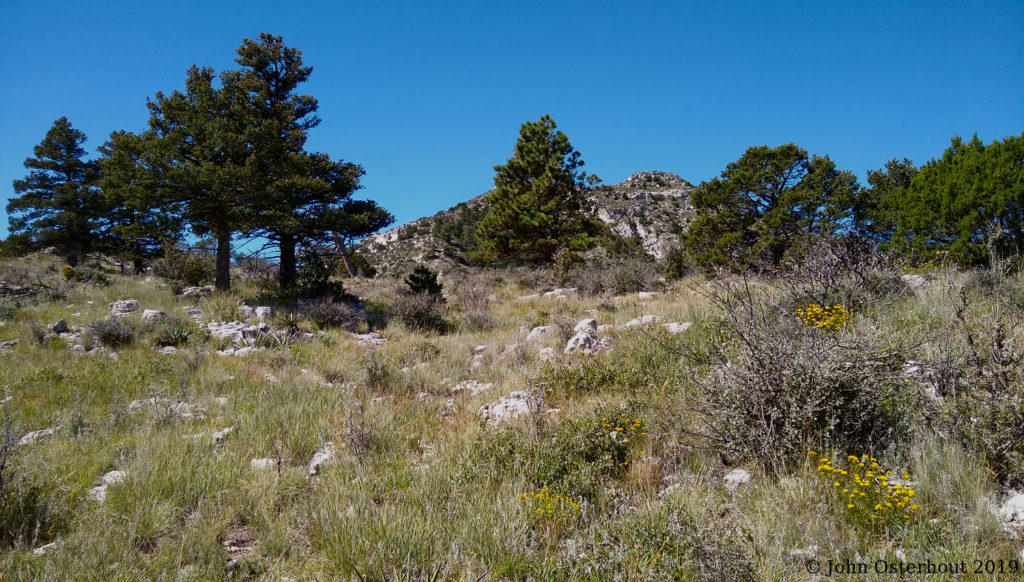
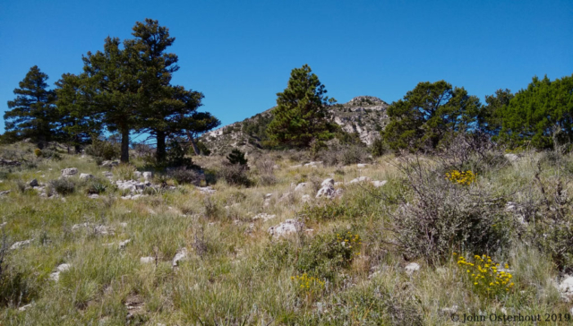
Hour 4:27 of the hike. We are getting up there, but clearly, there is still some altitude to gain. I think this is Guadalupe Peak poking up between the trees. If it’s not Guadalupe Peak, then Guadalupe peak is higher still and we still have a way to go! Note: various internet trail sites give the hiking time to the peak as 4-5 hours. We are already at 4:27 and moving slow. This is largely my fault. I’m old, fat, out of shape, and I’ve had multiple ankle sprains. I can twist my ankle even in high boots. So I’m watching where I put my feet. The trail is indeed “rocky”. Limping down with a swollen ankle is not a good option.
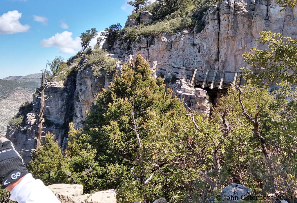
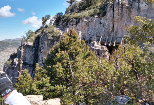
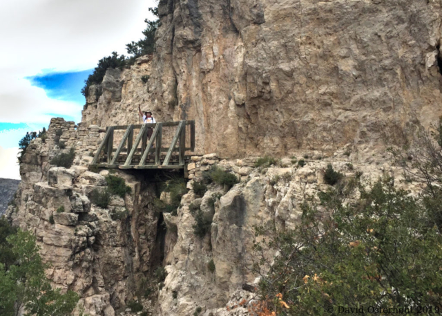
A few minutes later (hour 4:36) we arrived at the famous bridge. The Parks Service has built some railings and the bridge feels nice and solid. Not scary at all. Of course, the scary bits come later.

Here is the obligatory shot of the back of El Capitan. I think every pictorial summary of the Guadalupe Peak hike has a variation of this shot. I know why. It’s just cool. This is hour 5:29. El Capitan is elevation 8085 and we are above it. So only a few hundred feet of “up” left to go!
Summit!
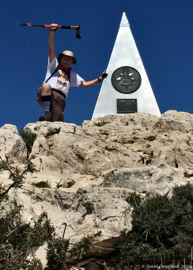
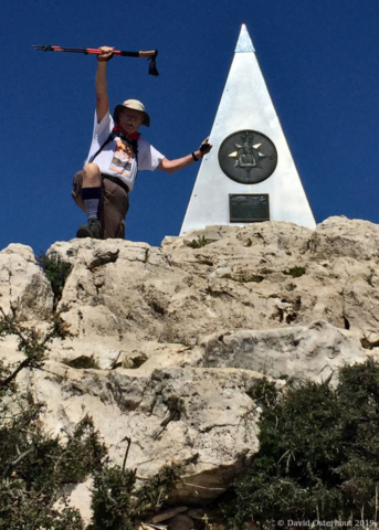
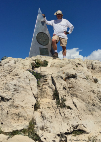
Made it! Elapsed time 6:11. Here I am with the stainless steel pyramid that marks the summit. Weirdly, it was erected in 1958 by American Airlines to commemorate the 100th anniversary of the Butterfield Overland Mail, which was a stagecoach line that operated a little south of the peak. The side of the pyramid in this photograph shows a compass and the logo of the Boy Scouts of America.

Here is David at the summit! I was so tired that I plopped down on a rock and sat for a while. David was all over the top like a mountain goat. He took a cool panoramic shot from the peak. It will look like a ribbon in the post so I’ll put it in the gallery below.
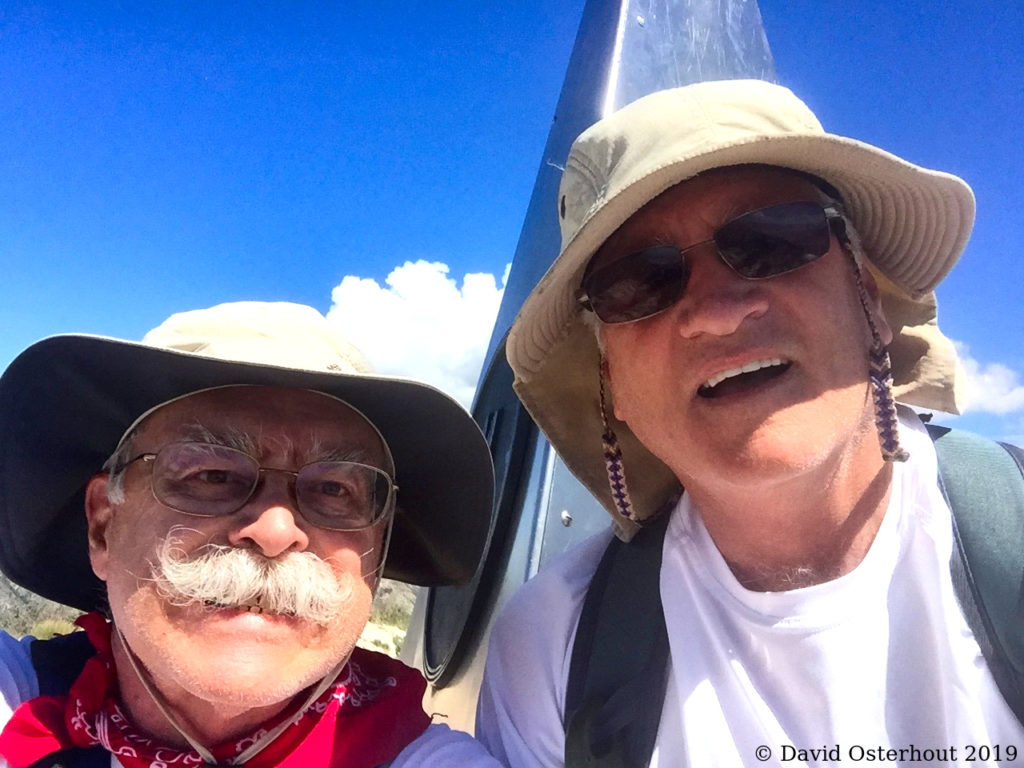
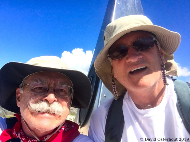
Selfie! Here we are together at the peak. You can see the Guadalupe Peak pyramid rising up behind us. David brought a couple of Payday candy bars for a celebration. So we ate those and some GORP. I drank some water and tried to psyche myself up for the return trip.

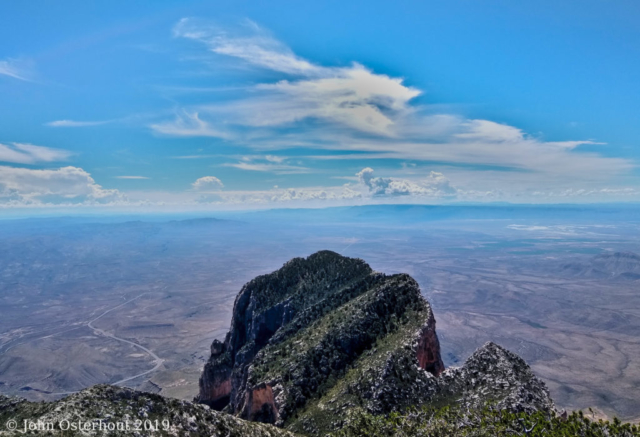
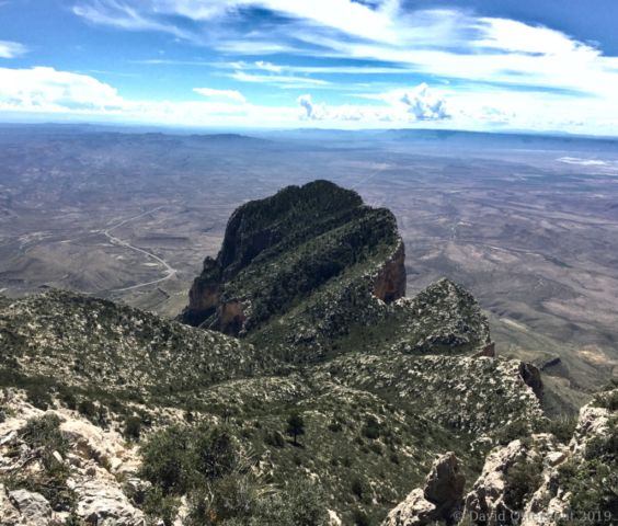
Here is a shot of El Capitan from Guadalupe Peak. We started down not too long after I took this shot.
Descent
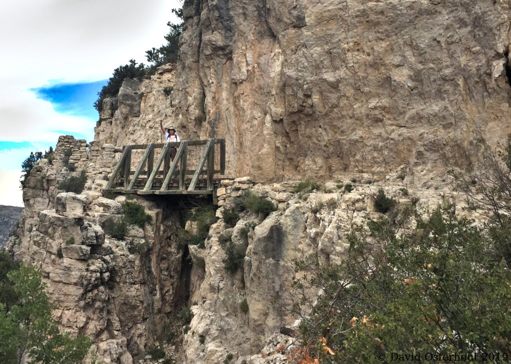
Here is John back at the bridge at hour 8:21. I am happy to be coming down alive. Now if we can just make it back to camp.

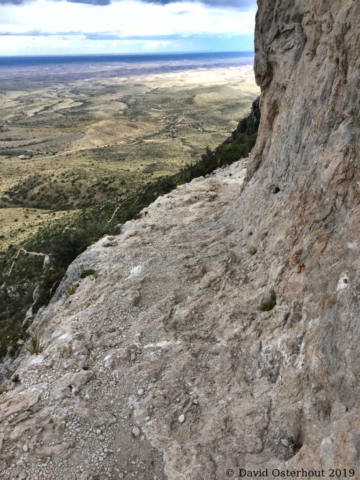
Here is a little piece of trail at hour 10:06. We are much lower now but still pretty far up in the air. This stretch of trail wasn’t the worst. The bit right before the summit was scarier!
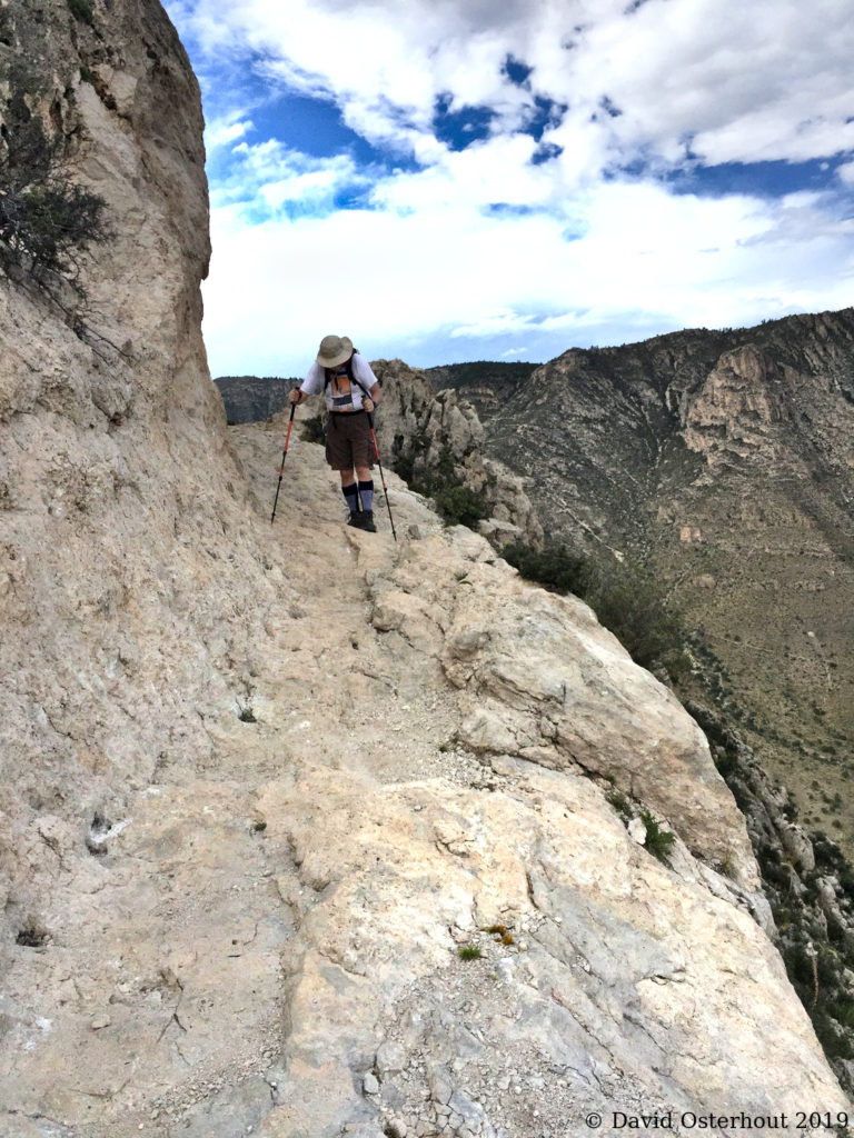
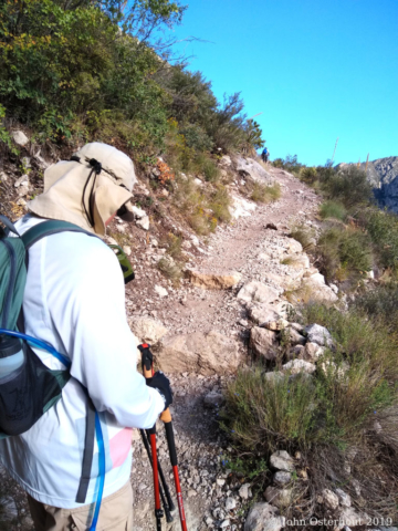
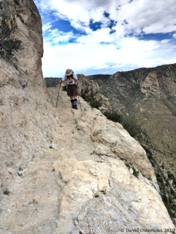
Here I am coming along a few seconds later. My head is down. I’m watching where I step. My legs are wobbly and I’m making maximum use of my trekking sticks. I’m trying hard not to misstep and pitch over the side…
That was it for the pictures until we got down. Dusk was closing in on us as we walked the last few yards to the trailhead. Total elapsed time was 11 hours and 19 minutes. We were the first ones on the mountain and the last ones off. We were old, fat, and slow, but we made it!
Aftermath
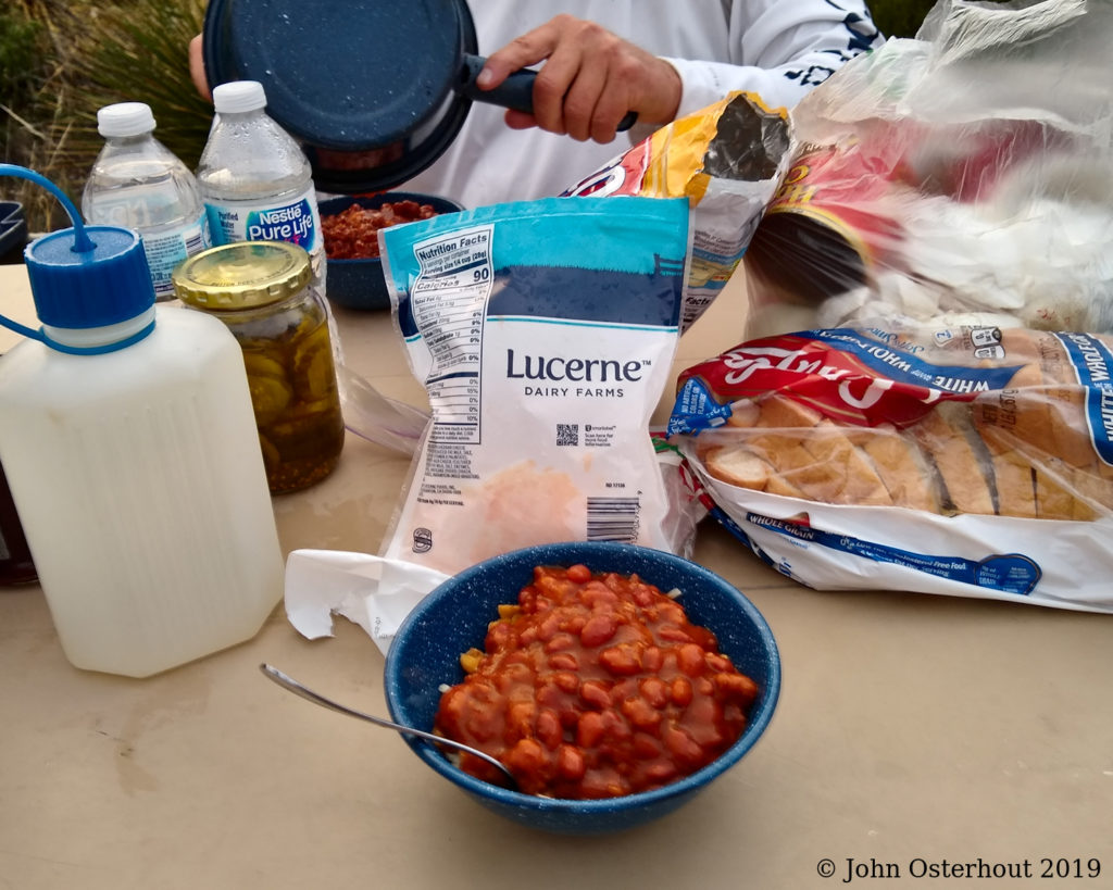
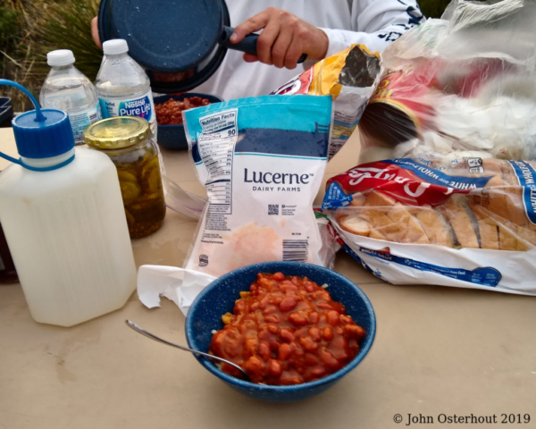
After our ordeal, we went straight to Chez David for dinner. Chef David prepared his specialty, le tarte Frito avec chili en boite et fromage cheddar du Lecerne. Masterful!
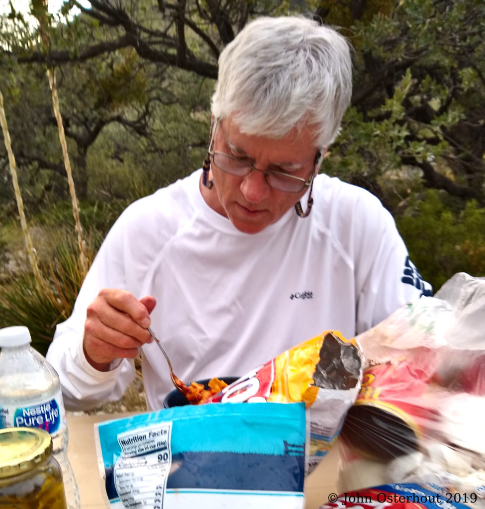
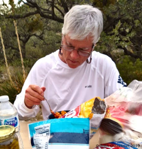
Chef David digging into his Frito pie. Man food at its best!
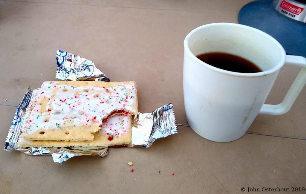
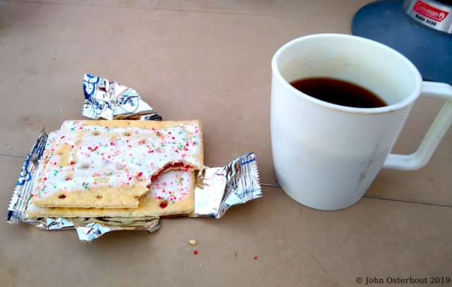
Strawberry Pop-Tarts and black coffee for breakfast. What’s not to like?

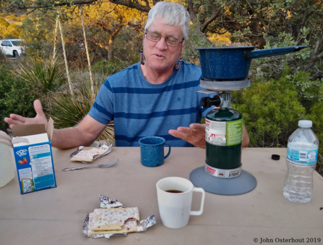
David pontificating at breakfast. Unfortunately, I caught with his eyes shut. We loaded up and hit the road right after breakfast. David had to drive to El Paso and then back past Guadalupe peak to Big Spring on family business. I only had to drive home. I stopped at a IHOP in Midland and ate breakfast for lunch. The rest of the drive was uneventful.
If you’ve read this far, you might want to visit my brother’s website, DavidOsterohouttex.com and check out his book OinK! Only In Korea!, which is about his time in the army stationed on the Korean Demilitarized Zone.
Breakfast on H-day (H for hike): “oeufs brouilles, griller du pan blanc beurre, flocons d’avoine a la canelle, et cafe noir” is scrambled eggs, white toast with butter, oatmeal with cinnamon, and black coffee. It was good and good for us.
Gallery
Click on a picture to enlarge it.
The photos prior to the hike were mostly taken with a Canon 6DII wearing a Canon 24-70mm f2.8 zoom. I made a decision not to lug the monster Canon 6DII up the mountain so the rest of the photos were taken with our cell phones, a Motorola Moto g^7 for me and an Apple iPhone 6 for David. I tinkered with all the images in Darktable, which is free software for Windoze, Mac, and Linux.


I remember this! A good time was had by all. Great blog and pictorial.